テーマ: 観光


Hello Everybody! I wolud like to introduce the Hong Kong National Geopark.
香港國家地質公園
香港國家地質公園 位於香港東部及新界東北部地區,總面積約50 平方公里,分為「新界東北沉積岩」及「西貢火山岩」兩個園區,每個園區內分別有4 個景區,合共8 個景區。其中「西貢火山岩園區」包括了橋咀洲 、糧船灣 、果洲群島 以及甕缸群島 ;而「新界東北沉積岩」園區則包括印洲塘 、赤門 、東平洲 及赤洲-黃竹角咀 四個景區
橋咀島國家地質公園 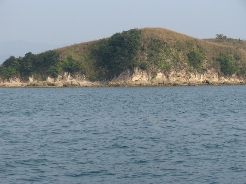
H.K.National Geopark
西貢碼頭乘坐街渡 take boat
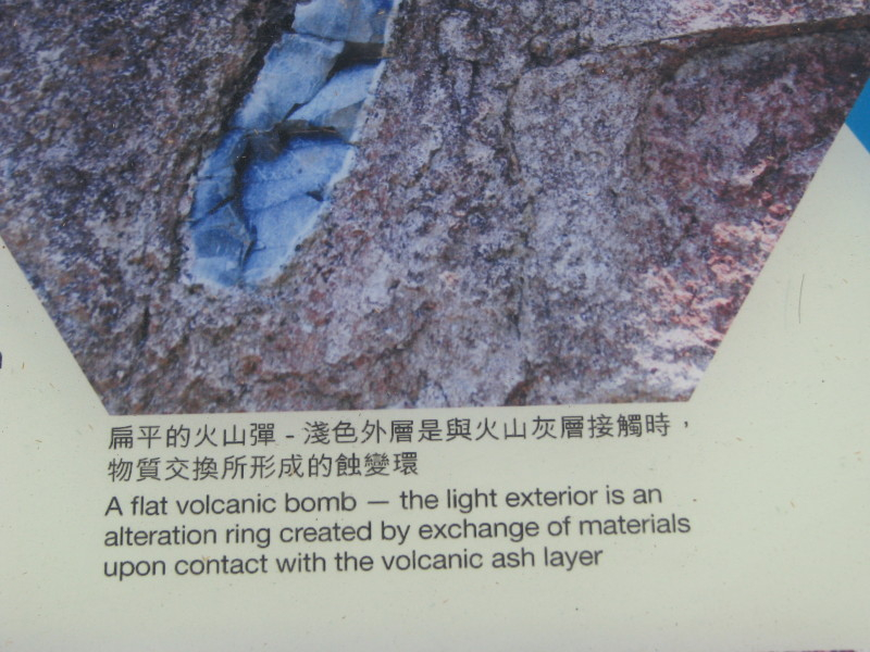
volcanic rock 火山石
Hong Kong National Geopark covers an area of 50 square kilometres across parts of the Eastern and Northeastern New Territories. It is divided into the Northeast New Territories Sedimentary Rock Region and the Sai Kung Volcanic Rock Region, with each region featuring four Geo-Areas, or eight in total. Within the Sai Kung Volcanic Rock Region lie Sharp Island , High Island , the Ninepin Group and the Ung Kong Group , whereas the Northeast New Territories Sedimentary Rock Region includes Double Haven , Tolo Channel , Tung Ping Chau , Port Island and Bluff Head